Convert to a quadmesh and plot in efficient vectorized form using 'grid'.
Plot mesh
mesh_plot(
  x,
  crs = NULL,
  col = NULL,
  add = FALSE,
  zlim = NULL,
  ...,
  coords = NULL,
  maxcell = 50000
)

# S3 method for BasicRaster
mesh_plot(
  x,
  crs = NULL,
  col = NULL,
  add = FALSE,
  zlim = NULL,
  ...,
  coords = NULL,
  maxcell = 50000
)

# S3 method for SpatRaster
mesh_plot(
  x,
  crs = NULL,
  col = NULL,
  add = FALSE,
  zlim = NULL,
  ...,
  coords = NULL,
  maxcell = 50000
)

# S3 method for RasterLayer
mesh_plot(
  x,
  crs = NULL,
  col = NULL,
  add = FALSE,
  zlim = NULL,
  ...,
  coords = NULL,
  maxcell = 50000
)

# S3 method for quadmesh
mesh_plot(
  x,
  crs = NULL,
  col = NULL,
  add = FALSE,
  zlim = NULL,
  ...,
  coords = NULL,
  maxcell = 50000
)

# S3 method for stars
mesh_plot(
  x,
  crs = NULL,
  col = NULL,
  add = FALSE,
  zlim = NULL,
  ...,
  coords = NULL,
  maxcell = 50000
)

# S3 method for TRI
mesh_plot(
  x,
  crs = NULL,
  col = NULL,
  add = FALSE,
  zlim = NULL,
  ...,
  coords = NULL,
  maxcell = 50000
)

# S3 method for mesh3d
mesh_plot(
  x,
  crs = NULL,
  col = NULL,
  add = FALSE,
  zlim = NULL,
  ...,
  coords = NULL,
  prefer_quad = TRUE,
  breaks = NULL
)
Arguments
- x
object to convert to mesh and plot
- crs
target map projection
- col
colours to use, defaults to that used by
graphics::image()- add
add to existing plot or start a new one
- zlim
absolute range of data to use for colour scaling (if
NULLthe data range is used)- ...
passed through to
base::plot- coords
optional input raster of coordinates of each cell, see details
- maxcell
default number of raster or terra cells to plot, with a default lowish-number - set to
NULLto use native resolution- prefer_quad
set to
TRUEby default, if but may beFALSEto assume use of triangle rather than quad primitives - this covers the case for when a mesh3d object may have quads and triangles in the same mesh- breaks
argument passed along to
palr::image_pal()
Value
nothing, used for the side-effect of creating or adding to a plot
Details
The mesh may be reprojected prior to plotting using the 'crs' argument to define the target map projection in 'PROJ string' format. (There is no "reproject" function for quadmesh, this is performed directly on the x-y coordinates of the 'quadmesh' output). The 'col' argument are mapped to the input pplied object data as in 'image', and applied relative to 'zlim' if su.
If coords is supplied, it is currently assumed to be a 2-layer RasterBrick with
longitude and latitude as the cell values. These are used to geographically locate
the resulting mesh, and will be transformed to the crs if that is supplied. This is
modelled on the approach to curvilinear grid data used in the angstroms package. There
functions are used to separate the complicated
grid geometry from the grid data itself. A small fudge is applied to extend the coordinates
by 1 cell to avoid losing any data due to the half cell outer margin (get in touch if this causes problems!).
If 'color' is present on the object it is used. This can be overridden by
using the 'col' argument, and controlled with 'zlim' and 'breaks' in the usual
graphics::image() way.
Examples
##mesh_plot(worldll)
## crop otherwise out of bounds from PROJ
rr <- raster::crop(worldll, raster::extent(-179, 179, -89, 89))
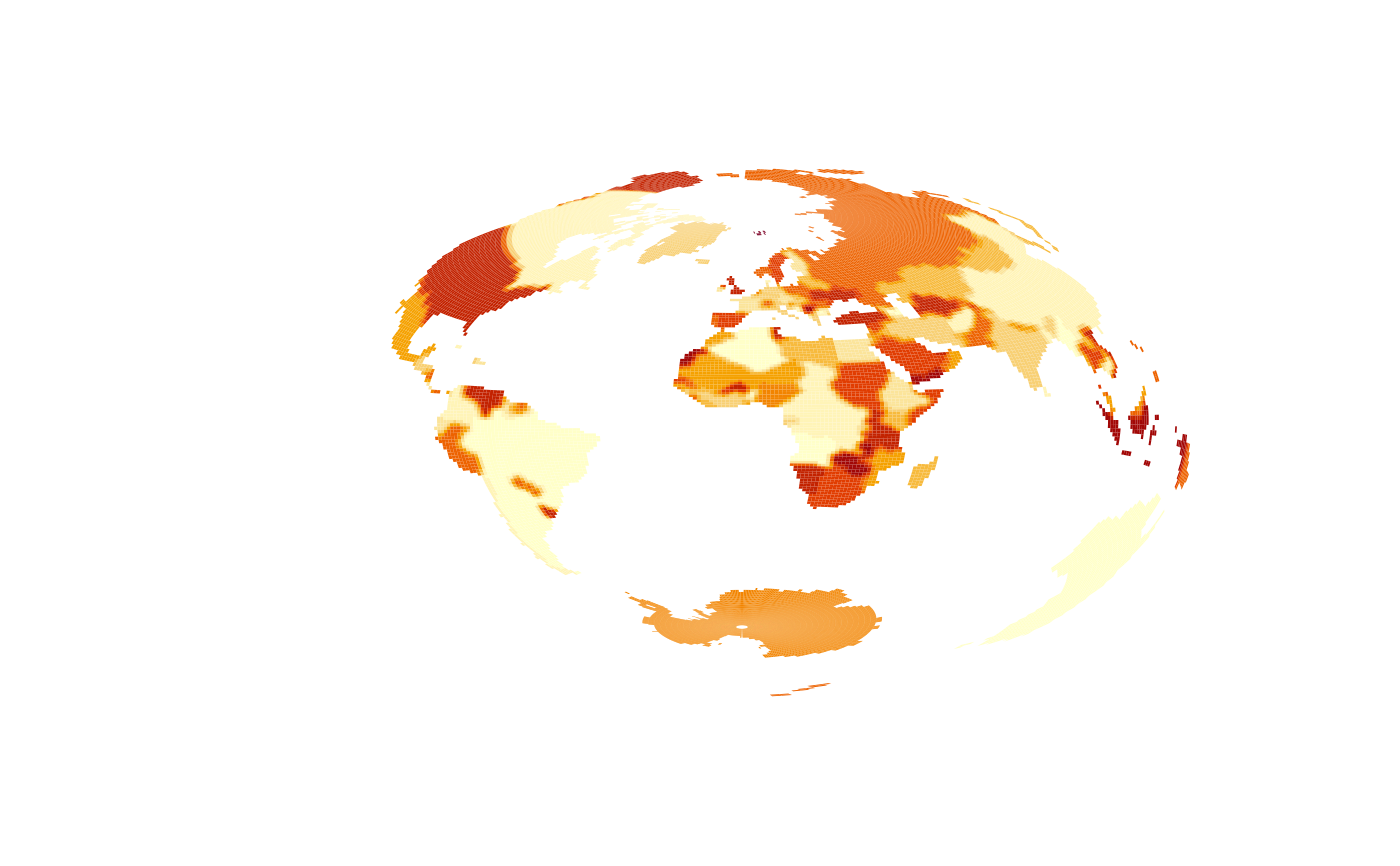
mesh_plot(rr, crs = "+proj=laea +datum=WGS84")

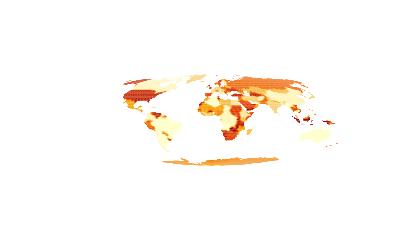
mesh_plot(worldll, crs = "+proj=moll +datum=WGS84")

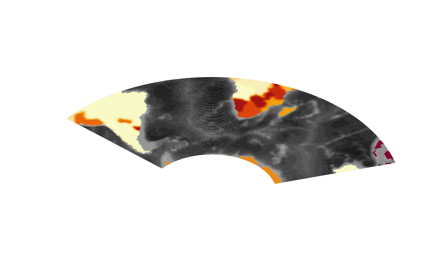
prj <- "+proj=lcc +datum=WGS84 +lon_0=0 +lat_0=-40 +lat_1=-55 +lat_2=-20"
safe_etopo <- raster::crop(etopo, raster::extent(-80, 120, -70, 90))
gcol <- grey(seq(0, 1, length = 20))
mesh_plot(safe_etopo, crs = prj, add = FALSE, col = gcol)
safe_worldll <- raster::crop(worldll, safe_etopo)
mesh_plot(safe_worldll, crs = prj, add = TRUE)
