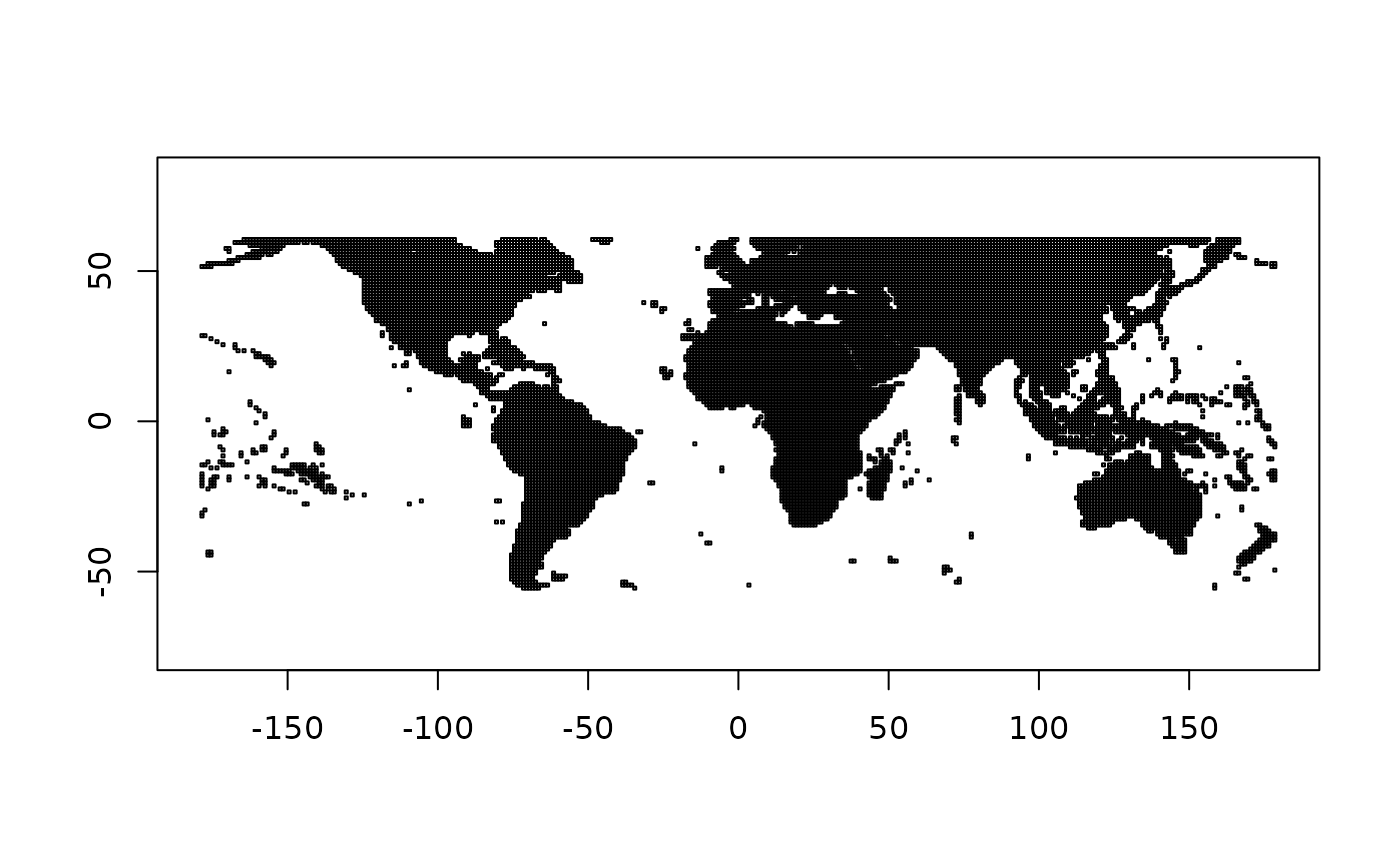
Get extent from index values in VRT text, these are the individual footprints of raster windows in a VRT. These can be arbitrary to a specific grid, but generally are used for tiled mosaics.
Details
Each VRT raster element records it's relative position within the grid, so we grid logic to expand the actual extent of each element, and return those as a matrix of xmin,xmax,ymin,ymax.
Examples
#src <- "https://opentopography.s3.sdsc.edu/raster/NASADEM/NASADEM_be.vrt"
src <- gzfile(system.file("extdata/NASADEM_be.vrt.gz", package = "vaster"), "rt")
## read VRT from a URL or file (we use a connection here to keep package example small)
ex <- extent_vrt(src)
close(src)
plot_extent(ex)