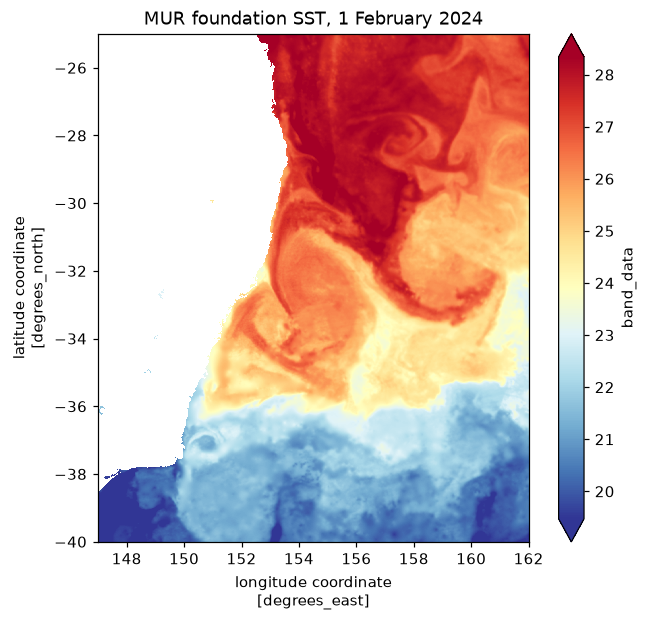
Classic mode suits single large rasters. Opening reads the header; selecting a window reads only the tiles under it, at the overview level GDAL picks for the request.
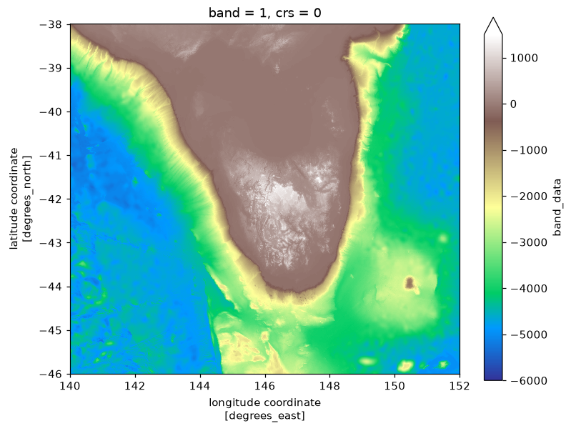
GEBCO bathymetry around Tasmania
Address: /vsicurl/https://data.source.coop/ausantarctic/gebco/GEBCO_2026.tif
Provider: AAD on source.coop
Permanent: an archive the provider commits to keeping.
Status: answered the store check at 2026-11-01 09:15 UTC.
= "/vsicurl/https://data.source.coop/ausantarctic/gebco/GEBCO_2026.tif" if live("gebco-sourcecoop" ):= xr.open_dataset(dsn, engine= "gdalxarray" , multidim= False )print (gebco["band_data" ].shape, gebco["band_data" ].encoding.get("preferred_chunks" ))
(1, 43200, 86400) {'band': 1, 'y': 512, 'x': 512}
if live("gebco-sourcecoop" ):= gebco["band_data" ].isel(band= 0 ).sel(x= slice (140 , 152 ), y= slice (- 38 , - 46 ))= plt.subplots(figsize= (8 , 6 ))= ax, cmap= "terrain" , vmin=- 6000 , vmax= 1500 )1 / np.cos(np.radians(- 42 )))
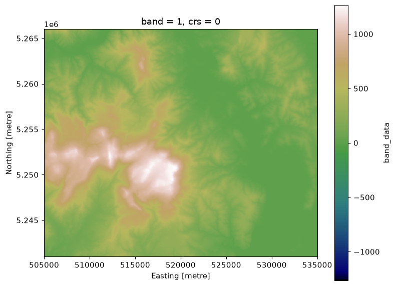
The Copernicus 30 m DEM as one VRT
A VRT over every GLO-30 tile, warped on read into a local projection with gdalxarray.warp:
Address: /vsicurl/https://opentopography.s3.sdsc.edu/raster/COP30/COP30_hh.vrt
Provider: OpenTopography
Permanent: an archive the provider commits to keeping.
Status: answered the store check at 2026-11-01 09:15 UTC.
= "/vsicurl/https://opentopography.s3.sdsc.edu/raster/COP30/COP30_hh.vrt" if live("cop30-vrt" ):= gdalxarray.warp(dsn, crs= "EPSG:32755" , bbox= (505000 , 5241000 , 535000 , 5266000 ),= (30 , 30 ), resampling= "bilinear" )= xr.open_dataset(rec, engine= "gdalxarray" , multidim= False )["band_data" ].isel(band= 0 )= plt.subplots(figsize= (8 , 6.5 ))= ax, cmap= "gist_earth" )"equal" )